| "Downtown" Highland Station |
|---|
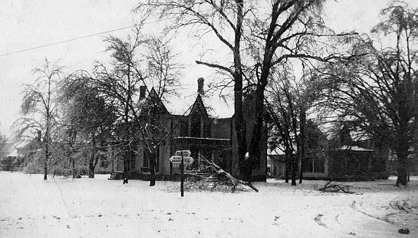
This is a view of the northwest corner of Livingston and Milford Roads after a devastating ice storm. The house pictured would later become the Asa Smith home and gas station. Notice the early road sign giving directions to Milford (south), Howell (west), Holly (north) and Pontiac (east). Prior to the construction of M-59, Livingston Road was the main east-west route between Pontiac and Howell, while Milford Road was a major north-south road from Grand River Road in New Hudson north to Holly, Grand Blanc and Flint, forming part of the "New Hudson-Holly Auto Trail."