| "Downtown" Highland Station |
|---|
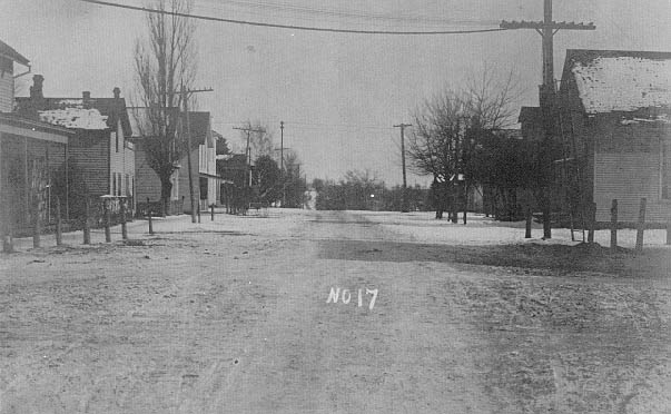
This is a view of Livingston Road looking east toward the railroad tracks. Prior to the construction of M-59 in 1939, what is now East Livingston Road was the main route to Pontiac, via Elizabeth Lake Road. At the bottom of the hill east of town tamarac poles were laid across the swampy areas so that the road built on top of them would "float." Further east, the road was forced to curve around the north end of Featherbed Marsh (west of Beumont Road) after efforts to fill in the wet areas repeatedly failed.