| 1847 MITCHELL MAP OF MICHIGAN |
|---|
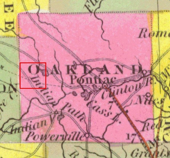
This is an enlargement of the Oakland County portion of Mitchell's 1847 map, with the area comprising Highland outlined in red. Again, it borrows heavily from Tanner's 1831 map, but includes a dashed line showing the proposed route of the Clinton-Kalamazoo Canal. Compare the route shown here with that on Thomas R. Tanner's 1839 map. The latter shows the canal proceeding more or less straight across the southern portion of Highland Township, while Mitchell shows it turning west-northwest as it heads into Livingston County. Any discrepancy is academic, however, since construction on the canal had ceased and plans for its completion had been abandoned several years before this map was published.