| HARVEY LAKE ROAD REALIGNMENT |
|---|
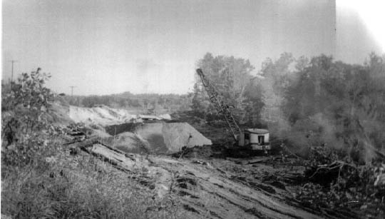
This photo shows the new curve being built on Harvey Lake Road in the late 1960's. A portion of the original roadway became Dunleavy Drive, while the rest was abandoned and reverted to adjoining landowners. Even today, however, a close look at aerial photographs of this area will show traces of the abandoned original route. With the exception of M-59 (portions of which were new), this project was the most significant realignment of any of the original roads in the Township thus far.